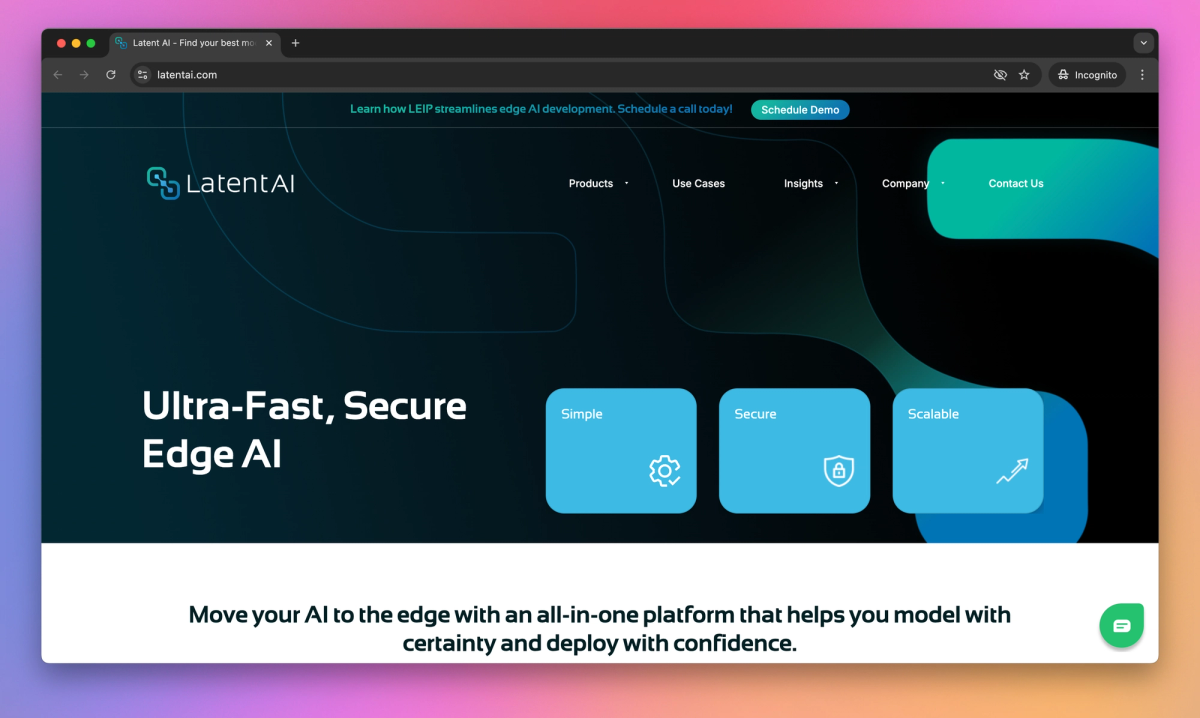
What is Latent AI?
Latent AI Efficient Inference Platform (LEIP) optimizes AI models for edge devices like drones, sensors, and cameras. It integrates with Esri's ArcGIS system, allowing geospatial analysts to process data locally for applications such as disaster recovery and urban management.
What sets Latent AI apart?
LEIP distinguishes itself by allowing geospatial analysts to update AI models directly in the field, adapting to changing conditions without internet connectivity. This feature proves invaluable for emergency responders assessing damage after natural disasters or urban planners monitoring crowd flow during large events. LEIP's integration with ArcGIS simplifies the process of building datasets and analyzing inferences, making edge AI more accessible to GIS professionals.
Latent AI Use Cases
- Edge AI model optimization
- Real-time inference on devices
- Field-updatable AI models
- Geospatial edge computing
Who uses Latent AI?
Features and Benefits
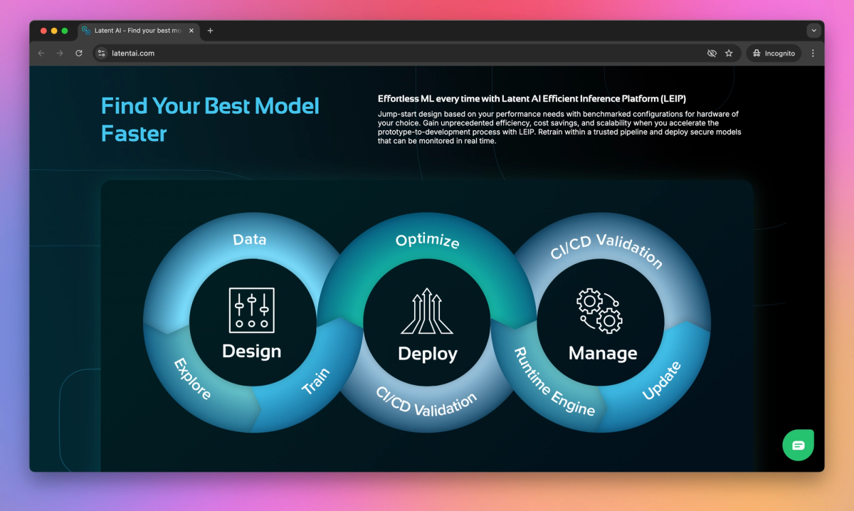
'/%3e%3cdefs%3e%3clinearGradient%20id='paint0_linear_1182_27871'%20x1='12.385'%20y1='12.5872'%20x2='48.2299'%20y2='32.1489'%20gradientUnits='userSpaceOnUse'%3e%3cstop%20offset='0.0938117'%20stop-color='%2352EB07'/%3e%3cstop%20offset='0.347535'%20stop-color='%233EF040'/%3e%3cstop%20offset='0.768595'%20stop-color='%2300FFF7'/%3e%3c/linearGradient%3e%3c/defs%3e%3c/svg%3e) LEIP provides an all-in-one platform for designing, optimizing, and deploying AI models to edge devices. Edge AI Development Platform
LEIP provides an all-in-one platform for designing, optimizing, and deploying AI models to edge devices. Edge AI Development Platform - The platform offers tools to compress and optimize AI models for efficient performance on resource-constrained edge devices. Model Optimization
- LEIP enables modification, retraining, and redeployment of AI models directly in the field. Field-Updatable AI
- The platform provides over 50,000 pre-configured recipes for various hardware options to accelerate development. Benchmarked Configurations
- LEIP integrates with Esri's ArcGIS system to enable edge AI capabilities for geospatial applications. Geospatial AI Integration
Latent AI Alternatives